From Our Studio
Whether you think in terms of AI products or assets, we build for strong return on investment. Our product mindset drives innovation. We design, build, and scale AI systems for Government, Business and ourselves. Examples from our studio are below.
Contact us to discuss your needs
Canopy Cover Monitoring
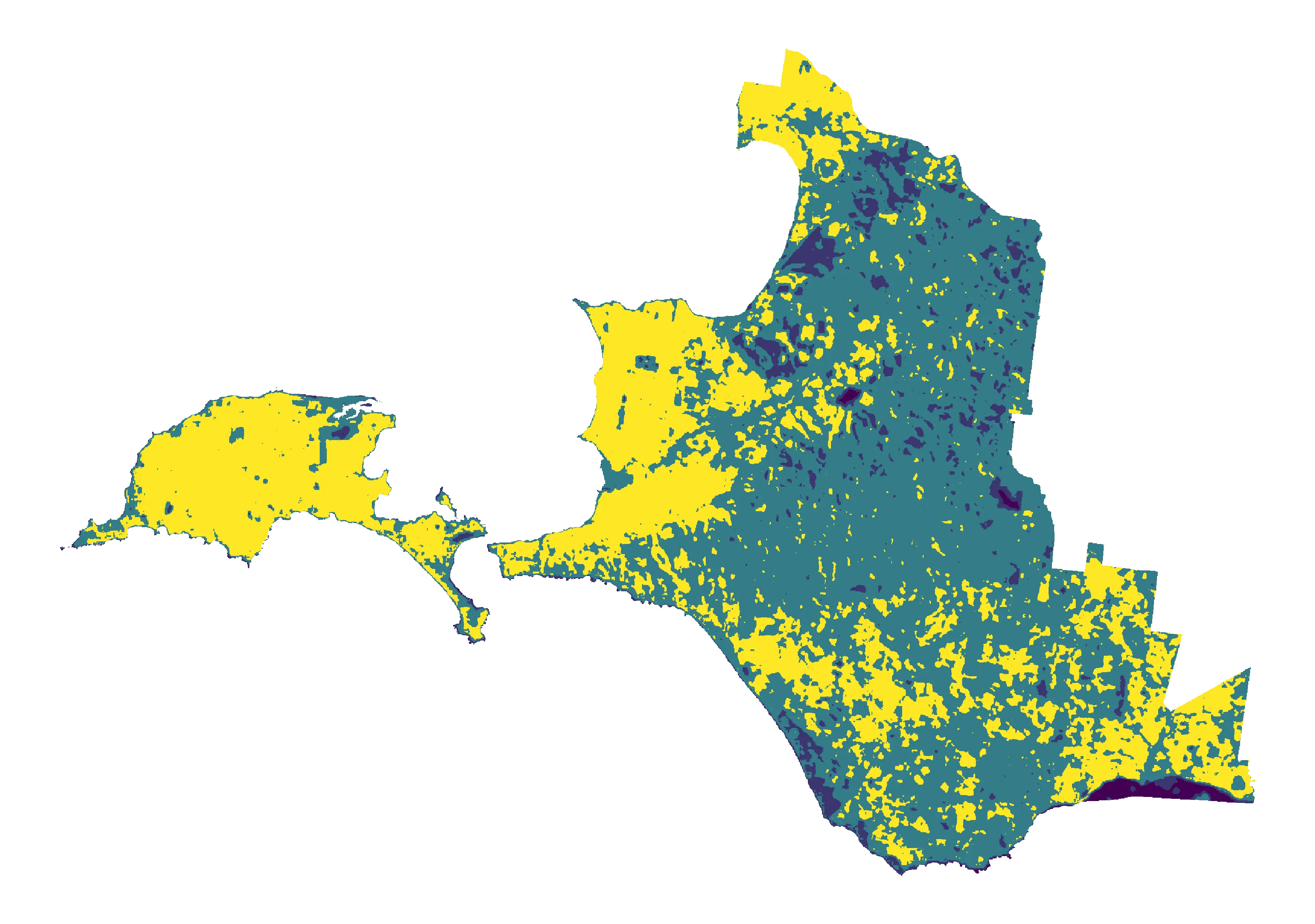
sackett.ai built a canopy cover monitoring platform that runs entirely on existing satellite and aerial data, which reduces the cost of monitoring for our customers.
Our first partner, Bass Coast Shire Council, wanted to measure progress towards their Urban Forest Strategy targets. Using our platform, we:
- Mapped 55km² of settlement canopy across all 26 townships at 10cm precision
- Compared cover and height across four points in time (2018, 2020, 2022, 2024), trackable annually
- Integrated temperature and socio-economic data to show where future planting will help most
Read the announcement from Bass Coast Shire and download the full report below. Need help with canopy cover monitoring? Contact us.
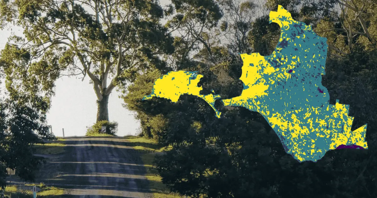
basscoast.vic.gov.au
National Tree Day: 22 Billion Pixels maps Bass Coast's Urban Forest
National Tree Day is Sunday, 26 July, and once again Bass Coast Shire Council is taking the opportunity to celebrate the trees that make our region greener, healthier and more beautiful.
 sackett.ai
Canopy Cover Report
Bass Coast Shire
2018–2024
basscoast.vic.gov.au
Urban Forest Strategy: Canopy Cover Report
Download the full sackett.ai canopy cover report, mapping tree cover across all 26 townships of Bass Coast Shire.